Residents across the Burnham-On-Sea area can now look up their homes online after Google this week rolled out its Street View technology to 95% of the UK.
Anyone can now journey down the streets of Burnham, Highbridge, Brean and Berrow and enjoy a 360 degree view without leaving their own home.
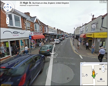 Street View images were captured by a Google car fitted with a panoramic camera on its roof last June, as reported here by Burnham-On-Sea.com.
A recent YouGov poll revealed two thirds of people who browse Street View have used the service to get directions, one third have used it to look at place abroad and one in five have already searched the maps during house-hunting.
Privacy campaigners have complained that Street View does not fuzz out all faces but the Information Commissioner found that Google removed such images quickly and there is an easily accessible request option for pictures to be removed. Google provides a ‘report a problem’ button on Street View for users to flag up inappropriate or sensitive images to be reviewed and removed.
Google collects 360° horizontal and 290° vertical panoramic street level views using special cameras and equipment mounted on cars. They capture and match images to a specific location using GPS devices. Once the images are captured, they are ‘sewn’ together to create a 360° panorama. Users can search Street View by entering a specific address, or pulling the yellow ‘Pegman’ icon to the area they want to see on Google Maps.
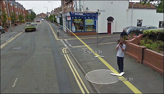
Burnham-On-Sea.com’s photographer was captured by the Google camera car taking a picture of the vehicle in Highbridge’s Church Street!
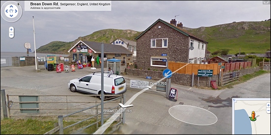
The car park and entrance to the beach at Brean Cove
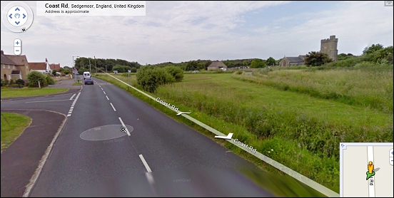
The Coast Road scene next to Berrow Church